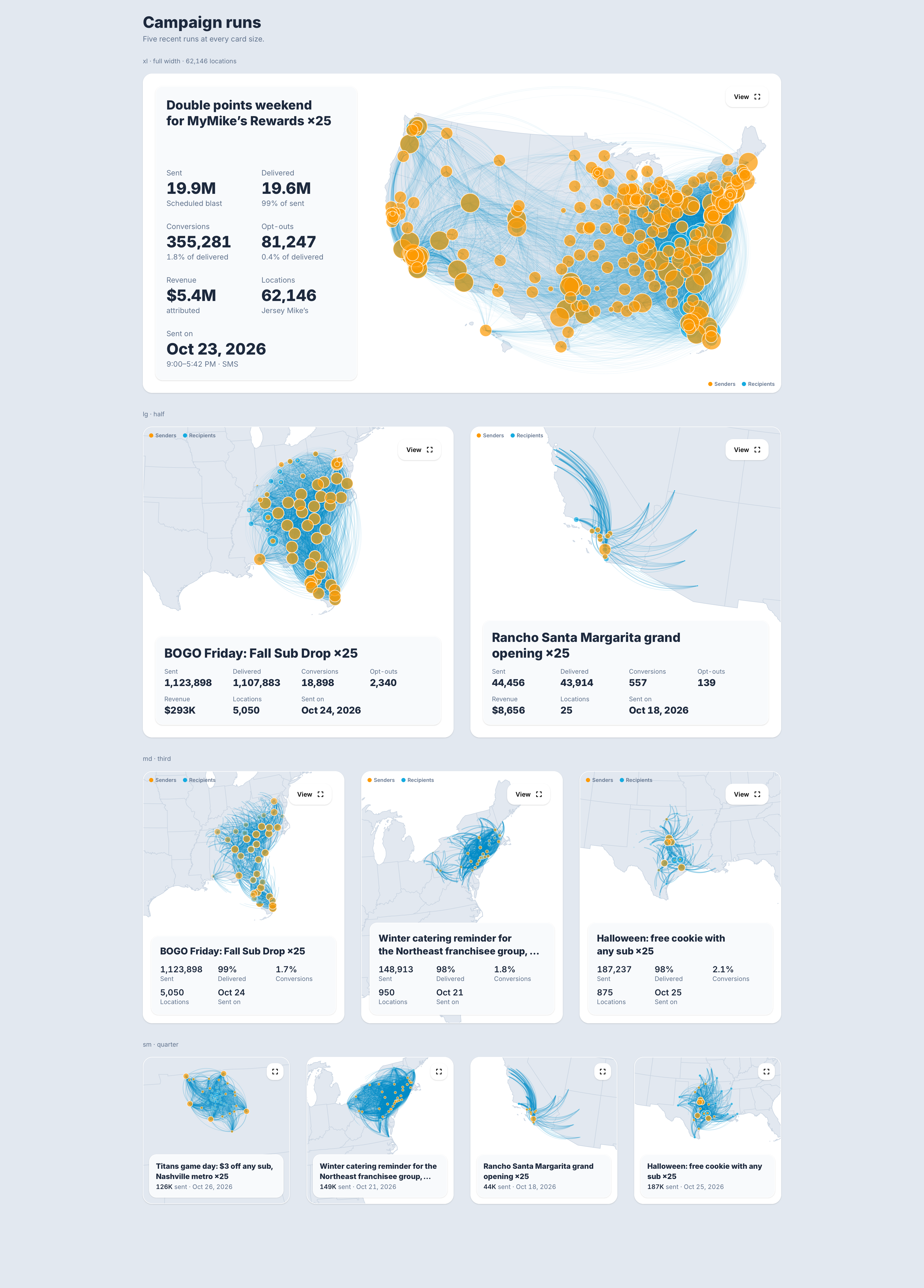
Campaign Summary
product
Summary
prototype of an interactive map that visualizes message sending by geography. It is built from reusable components and supports fullscreen, responsive layouts, and theming, with highly responsive animation.
- Make the scale of a customer’s sending visible at a glance.
- Set the bar for app-level interaction quality: fast response, smooth motion, and animations that can be interrupted mid-flight.
- Add a sense of play to the product.
Key Assumption
Location comes from mapping area codes to zip codes. This is an approximation, because a phone number’s area code does not reliably indicate where the contact lives.
Open Issues
- Map detail: City- and county-level detail is not yet supported.
- Real-data shape: Production data will likely cluster in one or a few area codes per sender, which could make the map far less dramatic than the demo.
- Mark placement: Exact positioning needs tuning against real data.
- Data load: Production use will require significant data requests, so backend and performance work is needed.
The prototype proves the interaction model. Whether it is ready for production depends on testing it against real customer data and building out the data pipeline.